Flood & environmental context
Mapped flood zones, wetlands, protected areas and listed contamination sites near the point.
Independent land checks for buyers.
We don’t sell land. We help you see it more clearly.
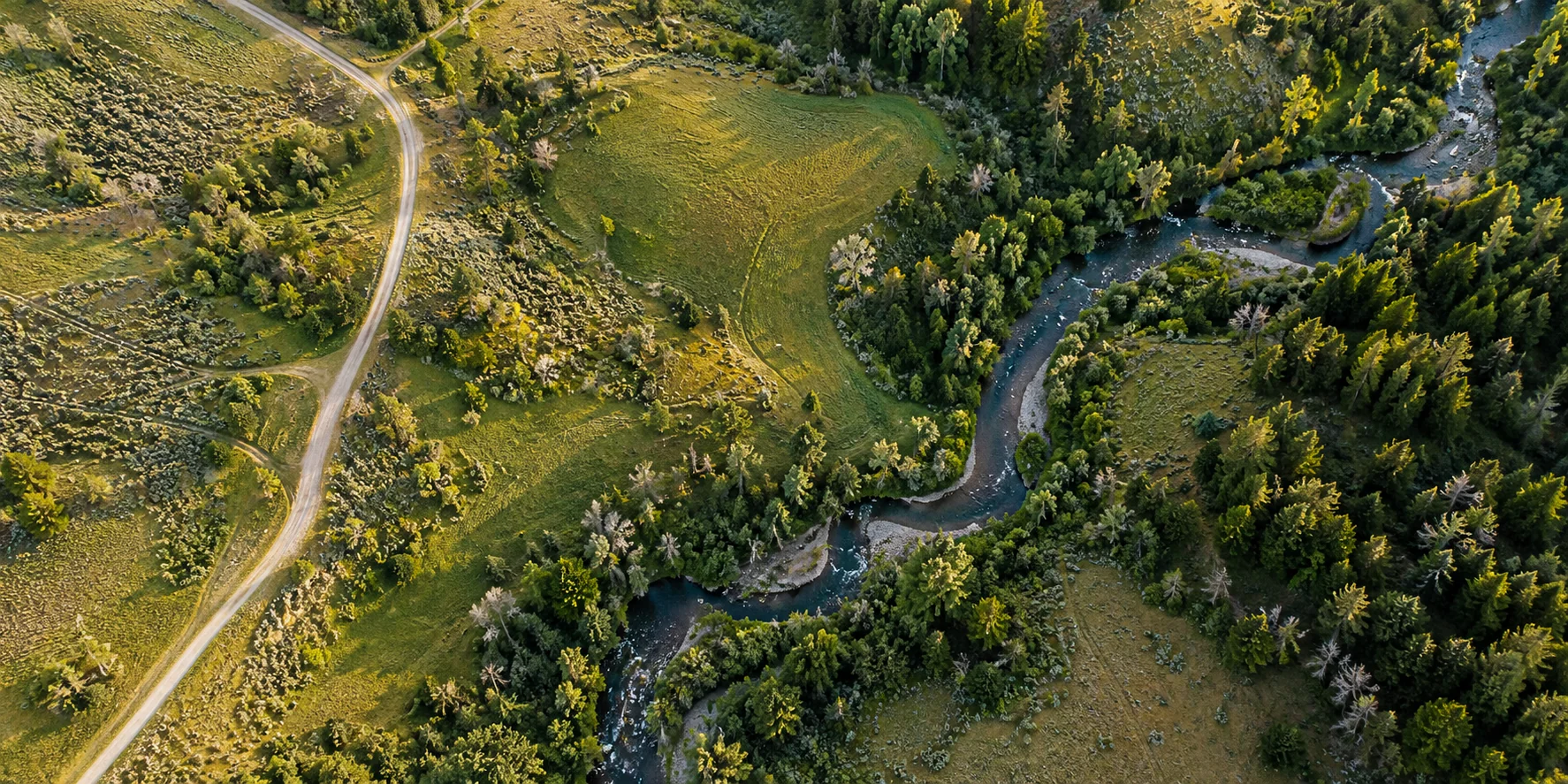 An independent first look, before your next step.Illustrative landscape · AI-generated
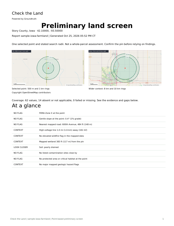
Grounded in public data.
Traceable to its source.
Flood maps. Soil conditions. The road nearby. Bring the scattered details into one readable report—with evidence you can follow.
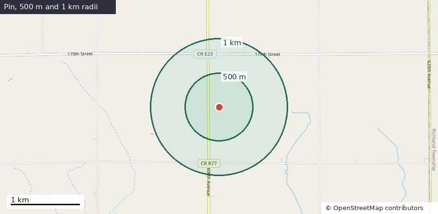
Point and search radii, not parcel boundaries.
© OpenStreetMap contributors.
At the selected point
Mapped as Zone X (area of minimal flood hazard). That is outside the high-risk area at this exact point; other parts of the parcel, low spots and local drainage can differ.
Land listings tell a story. Public data can give you more context. Bring the findings to the seller, county, utility or a qualified professional.
Mapped flood zones, wetlands, protected areas and listed contamination sites near the point.
Elevation, slope, soil drainage and shrink-swell characteristics to help you plan your next questions.
Distances to mapped roads, high-voltage lines and other infrastructure. Proximity does not establish access or service.
See where a value came from, the dataset date, and where a source could not provide an answer.
Start with the free preview. You’ll see the selected point and available coverage before a paid report is offered.
Enter an address or coordinates. Check the map and confirm the pin is on the land you mean.
Read the free preview and data gaps. Continue to secure checkout when sales are open and coverage is sufficient.
We assemble the findings, maps and sources automatically. Your private download link arrives by email when ready.
Public maps are a starting point. They can be incomplete, out of date or different from conditions on the ground.
This report doesn’t check the whole parcel, zoning, title, legal access, septic suitability or utility capacity. It doesn’t replace a survey or professional advice.
Read the scope and limitationsPreview the coverage free. Buy a full report when you’re ready and reports are available.
We’re on your side. We’re not a broker, seller or listing site. Our report is the product—not the land.
Have a look first.Download a real sample PDF$29one location · one payment
Initial test price. No subscription.
On your side. No land to sell.
Full reports aren't on sale yet. Leave your email and we'll tell you when they are.
A preliminary screen of one selected U.S. location: plain-English findings on hazards, terrain, soils, infrastructure and environmental context; maps showing the point and search distances; sources, dates and data gaps. You get a PDF, plus CSV and JSON exports.
No. It checks one point and stated search radii, not the parcel boundary or every part of the property. Different parts of a lot can have different conditions. Confirm the map pin before ordering.
No. It does not establish boundaries, ownership, zoning, legal access, utility availability or buildability. It is not a survey, title search, Phase I environmental assessment or legal, engineering or insurance advice.
When sales are open, pay once through secure checkout after reviewing the preview. The service generates the report automatically and emails a private download link when it is ready. Processing time depends on source availability; we don’t promise a fixed delivery time.
If a paid report cannot be generated after automatic retries, the service requests a refund to your original payment method. Your bank or payment provider controls when it appears. See our delivery and refund policy for details. Delivery & refunds.
Start with a free, independent first look.